5 Things You NEED to Know about The Gondola to Gorman Hike.
Somehow I get into a lot of fun situations with the “great ideas” my friends toss my way. The latest grand plan was to run from the top of the Gondola at Kicking Horse Resort to Gorman Lake. This is a pretty signature route in Golden as a traverse of the Dogtooth Range so, needless to say, I was keen! Here are a few things I wish I knew before I strapped on the shoes for the day of adventure...
- 1. The car shuttle is going to take at least 2 hours. Because this is a point-to-point adventure, we needed to deposit a vehicle at the Gorman Lake trailhead which is approximately 25 km from town, 17 km of which is a pretty rough logging road. I drove my Audi AllRoad cautiously and successfully to the trailhead, but the road is very rough and not for the faint of heart or for vehicles with a low undercarriage. A high clearance SUV or truck is definitely the preferred vehicle for the Gorman Road. It takes about an hour to get to the Gorman Trailhead (1-way) from town and about 2 hours total to get from town, drop the shuttle vehicle and then to the bottom of the Gondola at the ski hill. This is an important amount of time to budget into your day... we ended up starting an hour later than planned.
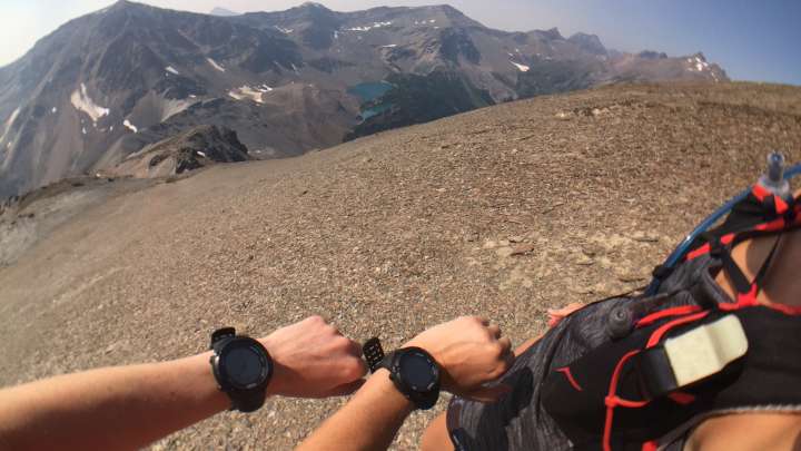
- 2. Route finding can be challenging. It was not easy to find an accurate trail description and map. There was a reasonable description at www.GoldenHikes.com but no maps and only some loose GPS coordinates that would guide our route-finding. While the description and intent were pretty simple (follow the ridges from the top of KHMR to Gorman Lake), we wanted a little bit more detailed information on what to expect and how to prepare. We managed to community-source a GPS track and some advice for the adventure (which is now at GoldenHikes.com). My friend and I both have Suunto watches that allowed us to load the GPS track into them and navigate via an arrow on our screens. This was very useful as we could track our distance and also navigate en route. We also were able to load the GPS track into Google Earth to get a rough overview of how the trail looked on the land.
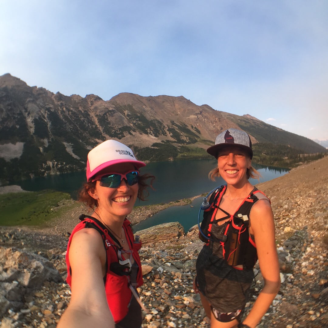
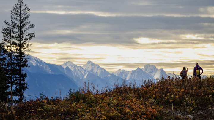
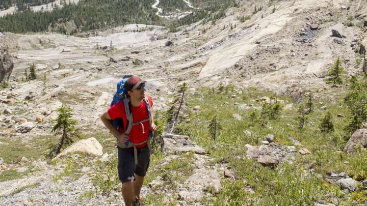
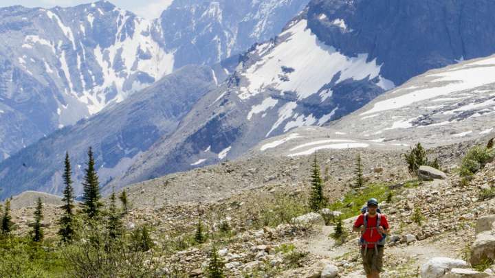
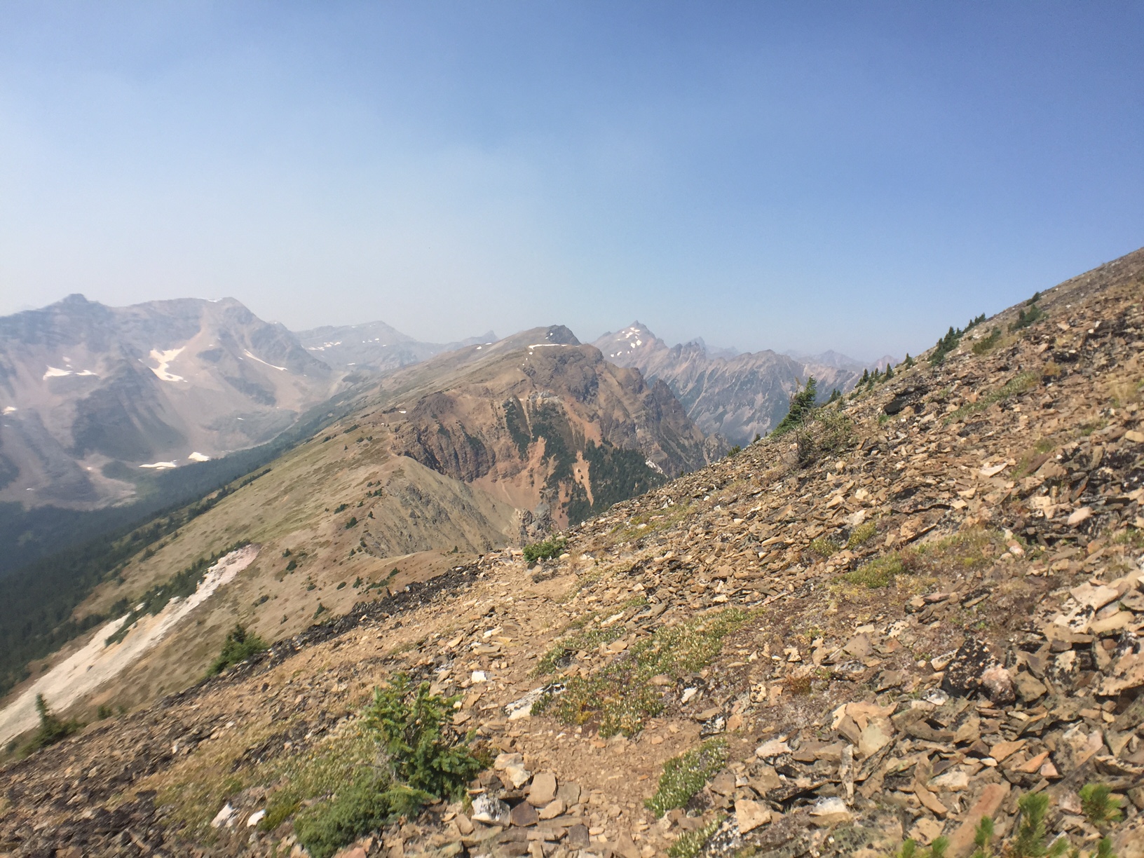
- 3. Don’t expect to see much in the way of traditional trails. Much of this route does not have an actual trail associated with it. Once you depart the ski area boundary (about 2 km into the traverse) the trail is either braided or does not exist at all. The normal way-finding cairns of rock were either prolific (everywhere we looked) or non-existent. The lack of trail meant that our travel was much slower than anticipated, we really relied on our GPS watches to confirm our visual route-finding, and the hiking surface had lots of hazards that could result in a twisted or broken ankle.
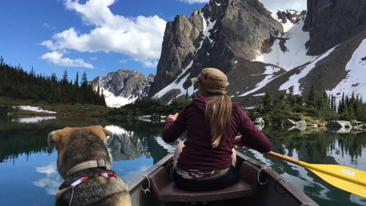
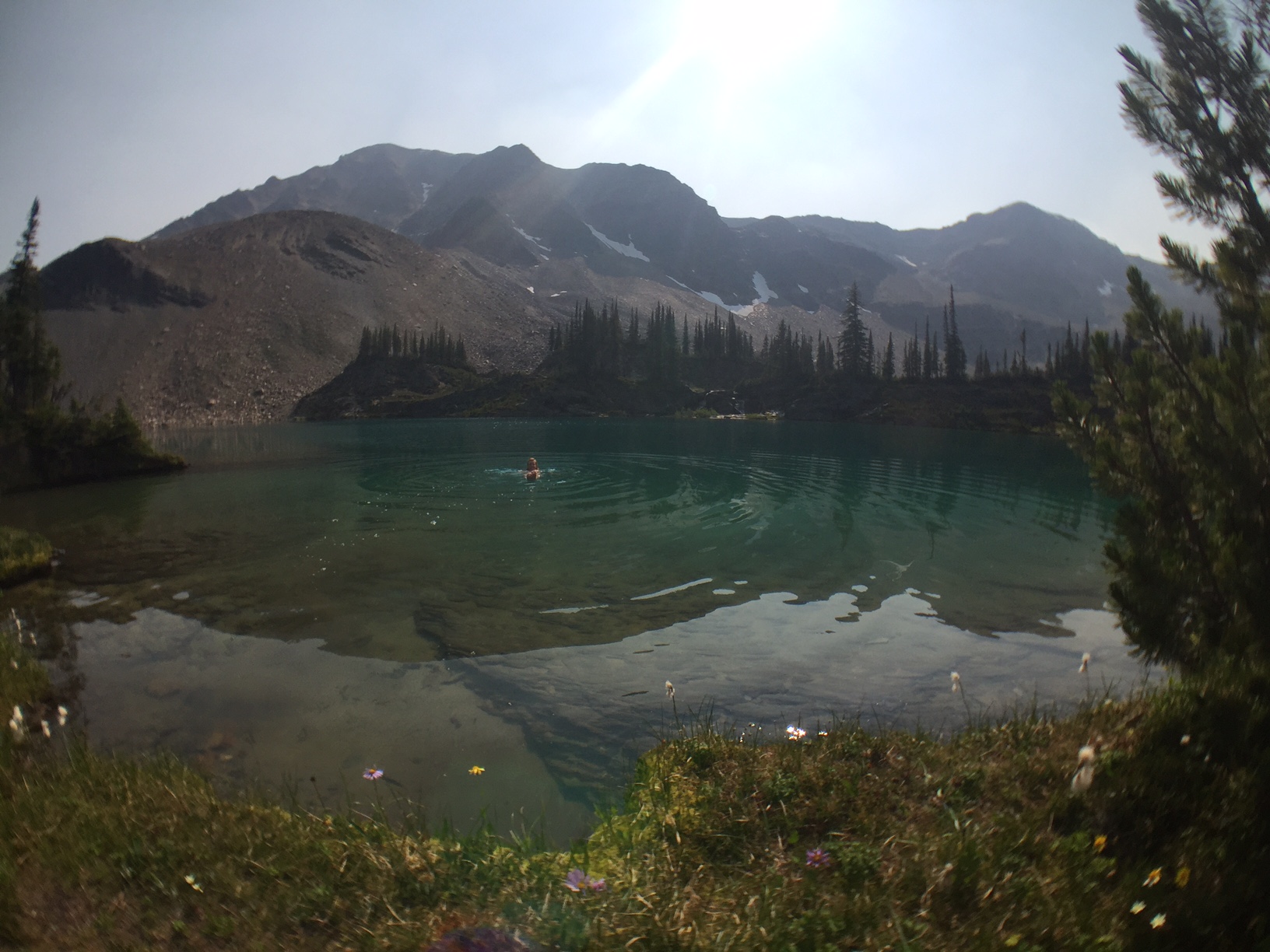
- 4. The lakes are amazing. There are two reasons why we loved the lakes. First and foremost, they are beautiful. Not far behind in reasoning, however, is that they are significant milestones on the hike – approximately half way and then pretty much at the end.
- 5. This traverse is a hike. It’s not a run. It’s not a bike ride. We undertook the mission as a run and ended up hiking 90% of it due to grades, terrain and route-finding. We subsequently met somebody that attempted to mountain bike the traverse and who ended up carrying his bike most of the way. I’d say the 8-12 hour time estimation at GoldenHikes.com is accurate for fit, experienced hikers. For the average person, it can definitely be a lot longer and I’d even go so far as to not recommend it without a guide and planning to spend an overnight somewhere en route.
If you are looking for a big adventure then this may just be the one for you!

